|
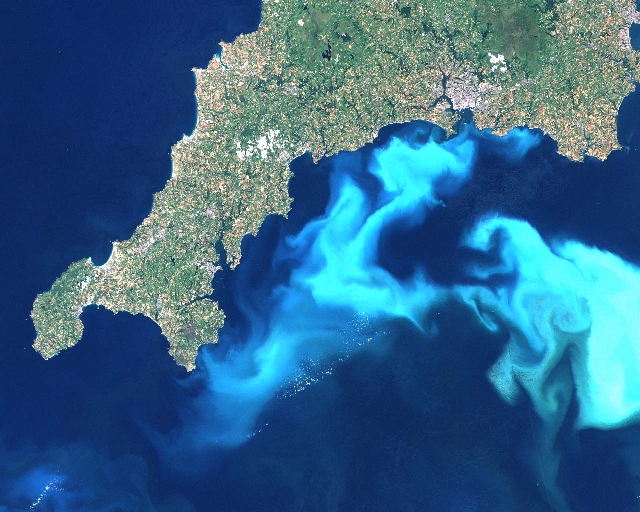
Satellites are very useful for providing information on
physical conditions, such as sea surface temperature, and biological
conditions, such as chlorophyll concentration. Because upwelling of
deep, nutrient-rich water results in cooler sea surface temperatures
in the upwelling area, regional upwelling events can be detected and
quickly identified in satellite imagery. The impact of these
upwelling events on phytoplankton abundance can also be assessed by
examining corresponding chlorophyll data as reported by satellites.
In this module you have explored the importance of upwelling
on ocean productivity along coasts, and have used satellite images
to spot upwelling events and confirm their relationship to
productivity.
|
|
