9.2. Creating MODIS AWIPS Compatible Files
This example walks through the creation of MODIS NetCDF files for display in AWIPS.
9.2.1. Basic MODIS Level 1B AWIPS compatible file creation
Find the options available when creating MODIS AWIPS files:
polar2grid.sh -r modis -w awips_tiled -h
List the products that can be created from your MODIS L1B dataset. For the new Sectorized Cloud and Moisture Imagery (SCMI) AWIPS writer, include the sector name (see Section 6.1.3) either Lambert Conformal Conic (LCC), Pacific, Mercator, or Polar:
polar2grid.sh -r modis -w awips_tiled --sector-id LCC --list-products -f <path_to_files>
Follow the command below to create MODIS AWIPS NetCDF files of all
Level 1B products found in your data set for your sector. When
using the awips_tiled scmi server, it is advised that a specific grid be chosen, and
that the --letters and --compress options are used.
In our LCC example, we will use the 1km grid:
polar2grid.sh -r modis -w awips_tiled --sector-id LCC --letters --compress -g lcc_conus_1km -f <path_to_files>
Create a subset of MODIS reprojected AWIPS products for a specfic AWIPS grid:
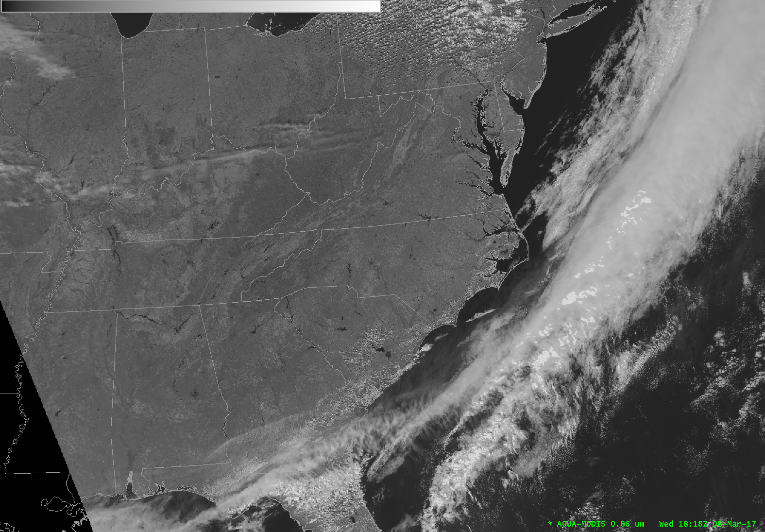
polar2grid.sh -r modis -w awips_tiled -p bt27 vis02 --sector-id LCC --letters --compress -g lcc_conus_1km -f <path_to__files>

Fig. 9.4 AWIPS display of Aqua MODIS Band 2 (.86 micron) reflectances from 20:52 UTC, 16 October 2022.
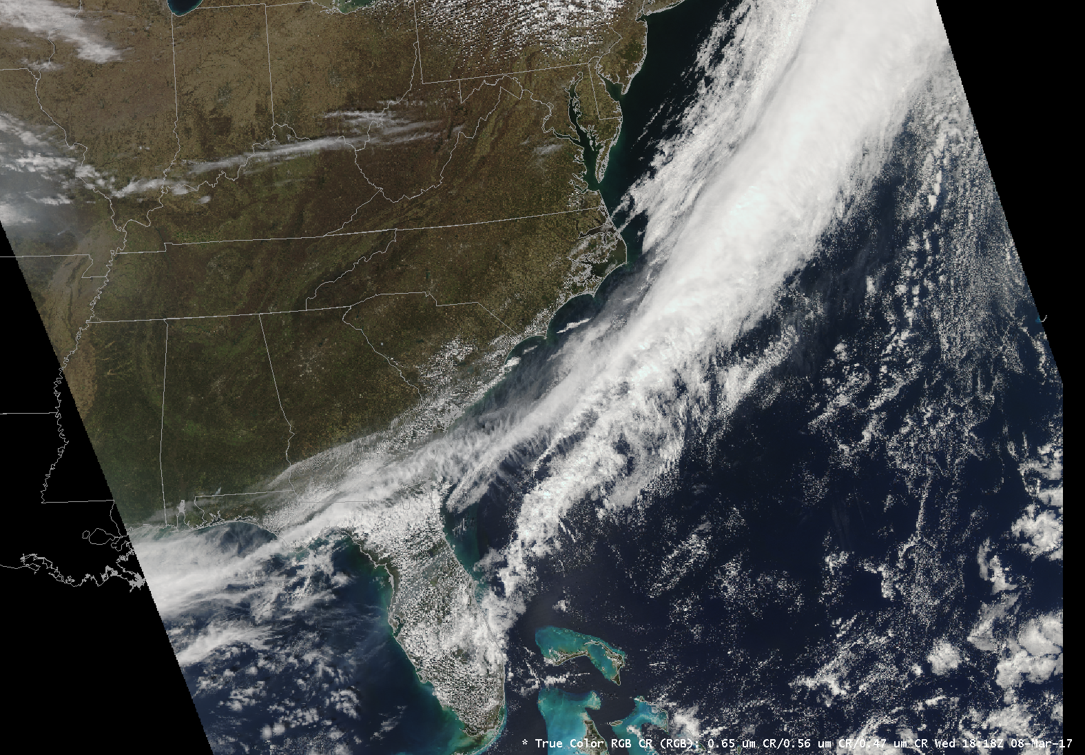
Create true color and false color Aqua MODIS AWIPS NetCDF files from the 1000m, 500m, 250m and geolocation pass files acquired on 16 October 2022 at 20:52 UTC, reprojected onto the LCC 300m lettered grid.
polar2grid.sh -r modis -w awips_tiled --awips-true-color --awips-false-color --sector-id LCC --letters --compress -g lcc_conus_300 -f l1b/a1.22289.2052.1000m.hdf l1b/a1.22289.2052.250m.hdf l1b/a1.22289.2052.500m.hdf l1b/a1.22289.2052.geo.hdf

Fig. 9.5 AWIPS display of Polar2Grid MODIS corrected reflectances combined to create a 24 bit true color image. Data was collected from a Aqua MODIS pass at 20:52 UTC, 16 October 2022.
