Fire Weather Testbed
Each year, tens of thousands of wildfires across the US cause $350-850 billion in damages to property and forests, not including tragic loss of life. Whether they are caused by human activity or naturally, early detection of wildfires is key for emergency managers and forecasters who issue warnings or order evacuations.

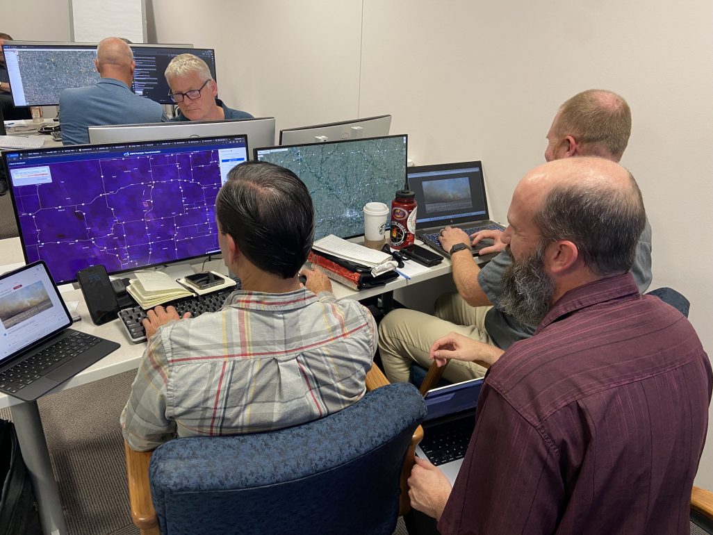
The Next Generation Fire System is a satellite-based detection system that provides real-time alerts about potentially dangerous new wildfires, as well as monitoring of existing fires. Available via the web, the NGFS was designed by researchers at the University of Wisconsin-Madison Space Science and Engineering Center and the National Oceanic and Atmospheric Administration.
“The Next Generation Fire System uses satellite data to rapidly display information about a fire’s intensity and location,” says Jason Otkin, a researcher and NGFS project manager with the University of Wisconsin-Madison Cooperative Institute for Meteorological Satellite Studies. “The goal is to provide near real-time information for emergency managers to help them monitor and address the dangers.”

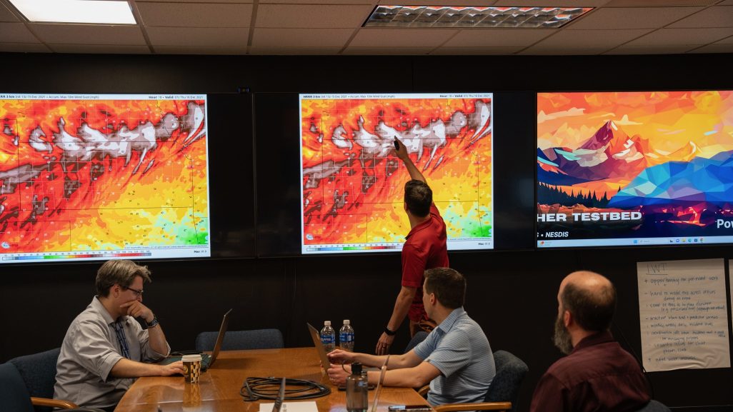
In June 2024, Otkin and his colleagues travelled to Boulder, Colorado to rigorously test the NGFS at the first NOAA Fire Weather Testbed. For four days, researchers, National Weather Service forecasters and state emergency managers ran simulations using real data from past wildfires. The exercises tested the effectiveness of the NGFS and the new NWS Integrated Warning Team — an approach to manage emergency situations likely to impact people in rural and populated areas alike. These teams can issue fire warnings for rapidly moving fires.
In total, the teams issued a total of 74 fire warnings over the four days, with the NGFS working behind the scenes.
“With so many wildfires that can happen in a day, emergency planners have to prioritize which ones pose the biggest threat and allocate resources to those,” says Otkin. “The NGFS can help planners understand the rapidly changing conditions happening on the ground.”
The NGFS is a collection of sophisticated algorithms that utilize satellite images to detect and track fires automatically (it is a form of artificial intelligence). It can automatically alert forecasters when a new fire is detected and extracts information on intensity trends.
The Fire Weather Testbed serves as a proving ground for new technologies such as the NGFS and offers everyone involved the chance to review and provide feedback. Otkin says he and his team gained helpful feedback on ways to improve the NGFS, making it more informative and easier to use.
This work is supported by NOAA.
