Monthly News Summary – February 2012
- NASA and NOAA Honor Suomi in Renaming the NPP Satellite
- More Images and Data from the Suomi NPP (National Polar-orbiting Partnership)
- SSEC and CIMSS Shine in the Big Easy
- SSEC/CIMSS Wows at WeatherFest
- UW-Madison Plays Prominent Role in 2012 ESIP Meetings
- Satellite Images of Major Dust Storm Over New Mexico, Texas, and Oklahoma
- Through the Atmosphere Published
- The Why Files Announces Its 2012 UW-Madison Cool Science Images Contest
NASA and NOAA Honor Suomi in Renaming the NPP Satellite
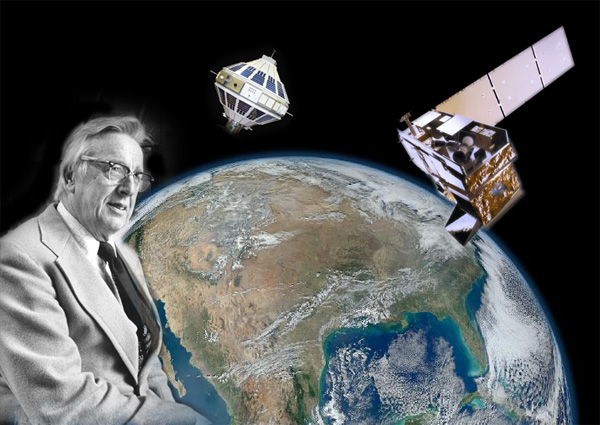
NASA and NOAA renamed their newest Earth-observing satellite after Verner Suomi, the longtime University of Wisconsin-Madison professor often called the father of satellite meteorology. The National Polar-orbiting Operational Environmental Satellite System Preparatory Project (NPP) satellite is now named Suomi NPP — the Suomi National Polar-orbiting Partnership.
Verner Suomi, with Explorer 7 and the Suomi NPP satellite and a “Blue Marble” image of the Earth, taken from the Visible Infrared Imager Radiometer Suite instrument aboard NASA’s most recently launched Earth-observing satellite, Suomi NPP. This composite image of Earth uses a number of swaths of the Earth’s surface.
Image Credits: NASA/NOAA/GSFC/Suomi NPP/VIIRS/Norman Kuring and UW Communications.
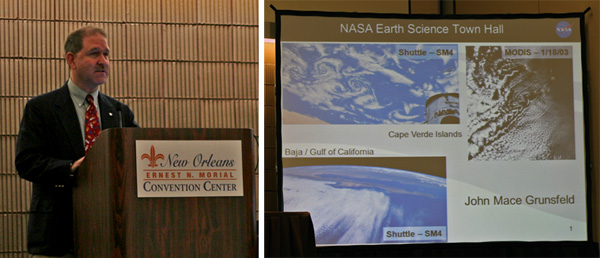
The announcement was made 24 January 2012 by John Mace Grunsfeld, former astronaut and current associate administrator for the Science Mission Directorate, at the NASA Town Hall Meeting at the annual meeting of the American Meteorological Society in New Orleans.
Suomi, who died in 1995, spent nearly his entire career at UW-Madison. He may be best known for the spin-scan camera, which allowed satellites in stationary orbit of one point on Earth to maintain continuous focus and enable, among other capabilities, the instant-replay-style weather images that are used on television.
The NASA press release.
The NASA Suomi NPP site.
The UW-Madison press release.
The honor is spotlighted on both the SSEC and CIMSS home pages.
Images captured by instrumentation on the Suomi NPP.
The Washington Post web site photo gallery.
The American Meteorological Society Blog.
And the CIMSS Satellite Blog.
The Verner E. Suomi Award Presented
The 2012 Verner E. Suomi Award was presented to Anne Thompson, professor of meteorology at Penn State, recognizing her extensive field work to understand ozone dynamics.
More Images and Data from the Suomi NPP (National Polar-orbiting Partnership)
VIIRS
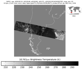
Although it’s very early in the activation process, thermal infrared imagery is now available from VIIRS on board the Suomi NPP.
More images can be found in the data archive index.
CrIS
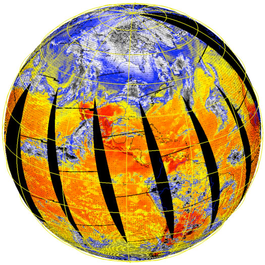
The Crosstrack Infrared Sounder (CrIS) signal processors were powered up on 7:48 EST on 20 January 2012. Calibrated radiance spectra were generated about 30 minutes after receiving the RDR data.
CrIS 900 1/cm brightness temperatures collected on 20 January 2012.
Raw data was received at SSEC via the NPP Atmospheres Product Evaluation and Test Element (PEATE) and then processed with the CrIS Calibration Algorithm and Sensor Testbed (CCAST), developed jointly by CrIS Cal/Val colleagues at UW and the University of Maryland Baltimore County to produce calibrated/geolocated radiance spectra. Sample figures show global images of 900 1/cm brightness temperature, and sample spectra.
SDR products were generated routinely by IDPS and available within another day. If the current schedule holds, the Cal/Val team will finish its early checkout phase, concluding with an upload of refined calibration coefficients, on 03 March 2012.
SSEC and CIMSS Shine in the Big Easy
New Orleans welcomed the 92nd Annual American Meteorological (AMS) Conference on 23 – 27 January 2012 with open arms and mostly cloudy skies. The sun peeked through a few times, but for the most part, there was plenty of weather for the visiting meteorologists.
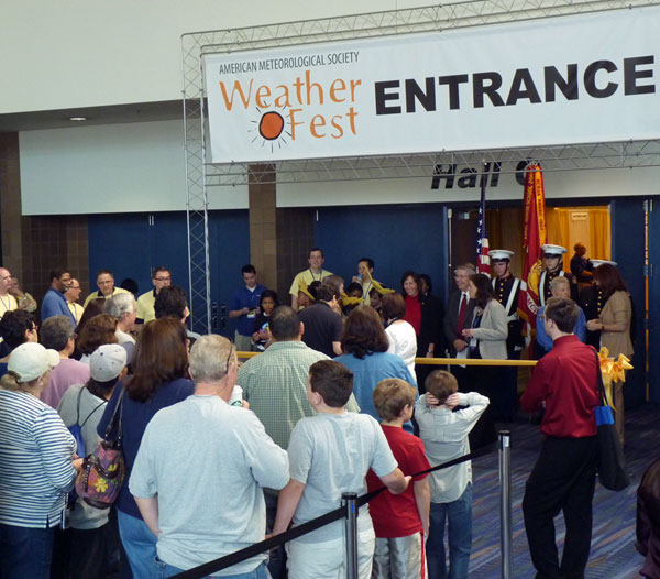
Crowds eagerly awaited the opening of the Exhibit Hall.
The Cooperative Institute for Meteorological Satellite Studies (CIMSS) and the NESDIS/STAR Advanced Satellite Products Branch (ASPB) had 58 presentations and posters at the annual meeting of the American Meteorological Society (AMS) held in New Orleans, Louisiana.
The 35 oral presentations and 23 posters covered algorithm development, data assimilation, modeling and impacts, visualization, meteorological studies, climate datasets and analyses, instruments, validation, and training.
From ASPB, Tim Schmit spoke on the status of the Advanced Baseline Imager (ABI) and the work done on simulating it before launch; Michael Pavolonis gave talks on algorithms and applications of fog and volcanic ash retrievals; Andy Heidinger presented the new cloud climate data from Geostationary Operational Environmental Satellite (GOES) data and its ability to improve the long-term Polar Orbiting Environmental Satellite (POES) records.
Tim Schmit also served as a co-chair of the Eighth Symposium on Future Operational Environmental Satellite Systems. Michael Pavolonis was interviewed as part of the NOAA ‘Big Picture’ event.
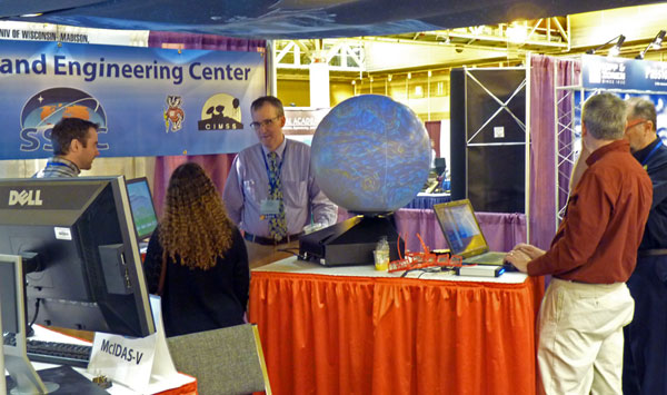
SSEC maintained an exhibit booth during the meeting demonstrating some of the Center’s latest research, providing close-up looks at the 3-D globe, and allowing visitors to sample the full release version of McIDAS-V’s visualization tools.
John Mace Grunsfeld making the announcement of the Suomi NPP satellite renaming at the NASA Earth Science Town Hall meeting on 24 January 2012.
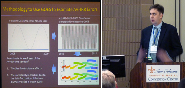
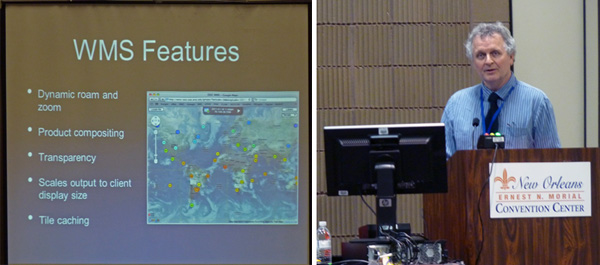
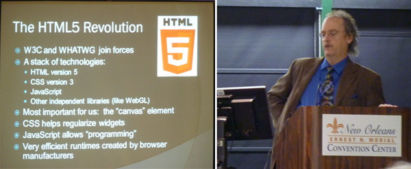
Andrew Heidinger, Dave Santek, and Tom Whittaker presenting at the AMS Convention.
It wasn’t all jazz and jambalaya in New Orleans: SSEC scientists and researchers made a strong case for advanced instrumentation in satellite studies, participated in poster sessions, gave informative seminars, and demonstrated new uses of software and hardware.
SSEC/CIMSS Wows at WeatherFest
On Sunday, 22 January 2012, the day before the official opening of the AMS Convention, the 11th Annual WeatherFest science fair drew an excited crowd of weather enthusiasts, all eager to experience dozens of interactive meteorology, oceanography and related science exhibits.
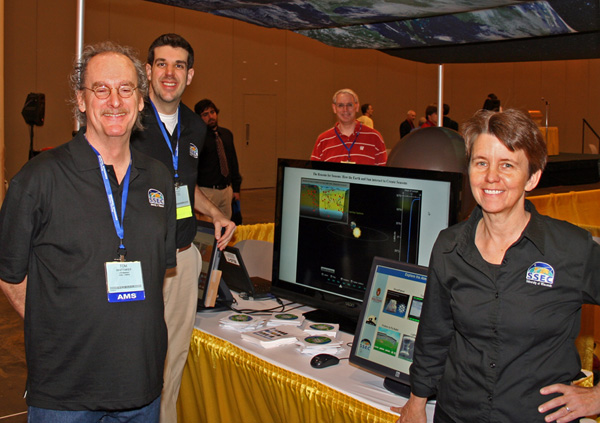
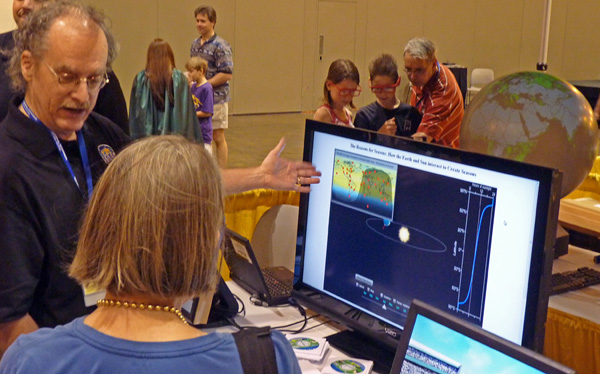
Tom Whittaker, Patrick Rowley, Rick Kohrs, and Margaret Mooney ran the SSEC booth, introducing fascinated children and their parents to the world of satellite meteorology, helping them navigate several SSEC-created, weather-related applets on kiosk-mode touch monitors, and fielding questions from both young and old.
UW-Madison Plays Prominent Role in 2012 ESIP Meetings
The Federation of Earth Science Information Partners (ESIP) meets twice a year, in January and July. CIMSS/SSEC has had an active presence at ESIP meetings for several years now, this past January saw our role expand with three UW graduate students attending the winter meeting in Washington DC.
Two students, Brent Maddux and Jesse Roberts, served in the inaugural ESIP student fellow program, a year-long research fellowship focusing on various interdisciplinary Earth Science issues. Six paid positions were made available in 2011 and UW-Madison students landed two of them!
To top this off, UW’s Alex Matus applied and was awarded a short-term research project working with ESIP members from the University of New Hampshire. Alex presented a poster at the winter meeting entitled “Real-time Automated Cloud Classification from Live Webcams” featuring AOSS roof-top data.
Along with the strong UW student showing at the winter meeting, Margaret Mooney organized and co-convened a successful session called “Technology Tools that Enhance Collaboration” where more participants participated remotely (about 25) than in the room (about 20). A recording of this session can be viewed on-line.
Looking ahead, UW-Madison will host the ESIP summer meeting 16-20 July 2012 with more opportunities for graduate students and a NOAA-supported teacher workshop organized by CIMSS/SSEC. More information about ESIP summer meeting can be obtained online.
Satellite Images of Major Dust Storm Over New Mexico, Texas, and Oklahoma
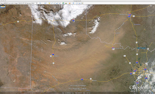
Geostationary Operational Environmental Satellite (GOES-13 and GOES-15) and Moderate Resolution Imaging Spectroradimeter (MODIS) images were captured during a major dust storm across parts of New Mexico, Texas, and Oklahoma on 22 January 2012. Images and animations were posted on the Cooperative Institute for Meteorological Satellite Studies (CIMSS) Satellite Blog.
MODIS true color image (viewed using Google Earth) showing a large plume of blowing dust across parts of Texas and Oklahoma on 22 January 2012.
Through the Atmosphere Published
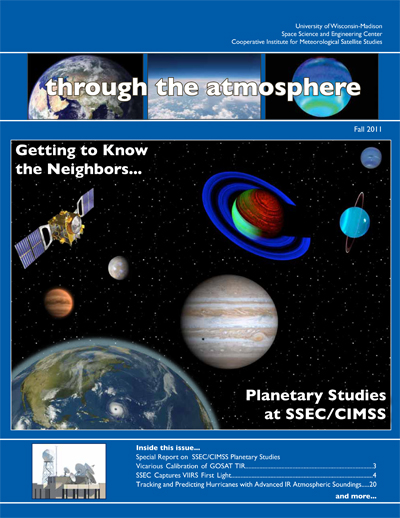
The Fall 2011 issue of Through the Atmosphere, the biannual SSEC/CIMSS magazine highlighting important work done at the Center, has been published.
The entire issue may be read and downloaded online.
If you would like to request a copy or be added to our mailing list for Through the Atmosphere, please contact Maria Vasys.
The Why Files Announces Its 2012 UW-Madison Cool Science Images Contest
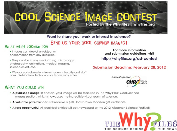
We are soliciting interesting, beautiful and meaningful science and science-related images from the University community. The winning photos can earn a valuable prize, a $100 gift card for Downtown Madison, and be published in “Cool Science Images.”
All qualified entrants will be included in a slide show to be shown in September at the Wisconsin Science Festival at the Wisconsin Institutes for Discovery.

