McIDAS — 50 years of continuous user support and development
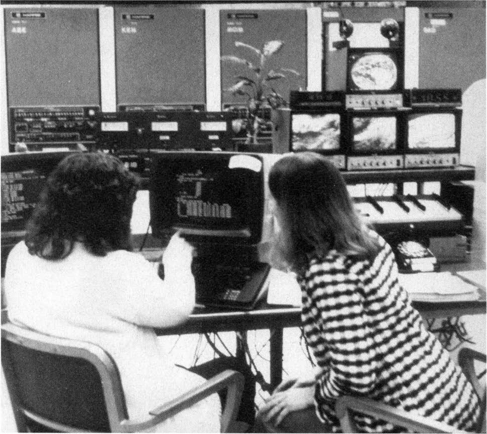
In 1973, the field of satellite meteorology looked much different than today. The nascent yet rapidly developing field brought with it new satellites, imagers and sounders transmitting an immense amount of data back to Earth. At the time, even the father of satellite meteorology, Verner Suomi, noted the deluge of information was overwhelming.

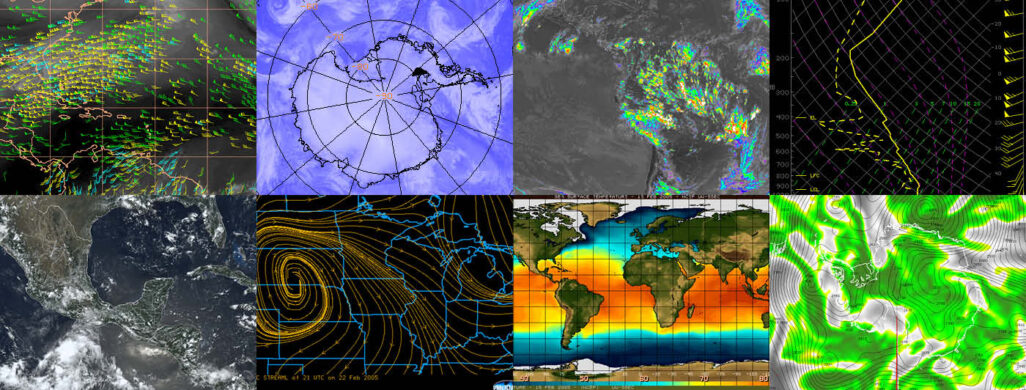
The development of the Man computer Interactive Data Access System by researchers at the University of Wisconsin-Madison Space Science and Engineering Center would help to tame these data streams and allow users worldwide the ability to combine layers of satellite data and real-time weather observations and rapidly display them in a digital format.
Through continuous development and support, McIDAS celebrates its 50th year in service and continues to advance the field of atmospheric science, weather prediction and beyond.
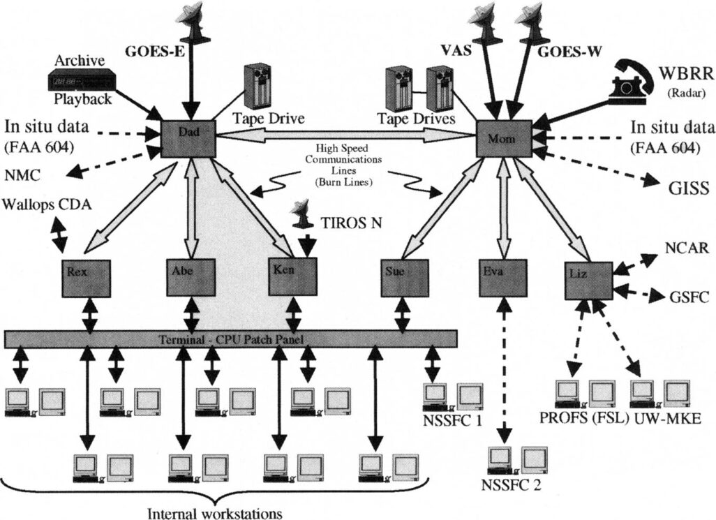
Since its launch in 1973, McIDAS has been used by thousands of researchers, meteorologists, governmental agencies, private industry, and weather enthusiasts worldwide as a way to visualize satellite and observational weather data based on the users’ needs. At its core, McIDAS serves as a nexus for satellite data from around the world, including weather satellites from the United States, Europe, India, and Japan — bringing their data into a single place with common formatting.
SSEC researcher Dave Santek has worked with McIDAS since 1978 and has helped guide the software package through its many iterations. He credits the user-focused approach as a reason for its continued success.
“We wrote the code to bring in all these disparate data types into one place, and it became a system where you could take different kind of data and put it into a common format,” says Santek. “And you could add new data types in as well.”

The McIDAS Users Group formed in 1985 as a way to improve the software based on community input, which has guided the program as a whole and for individual user groups. Today the MUG supports more than 20 organizations around the world and has been used to support NASA field campaigns, spaceflight operations, and the development of satellite products such as NOAA Global Hydro-Estimator.
“In the today’s era of open-source code, we were doing that back in 1985 when the McIDAS Users’ Group was formed,” says Santek. “We had this whole idea of community contributions to code and everybody would benefit from it.”
In September 2023, the McIDAS Users’ Group meeting took place in Madison, Wisconsin at the UW-Madison campus as a way to bring users together for training and to continue the tradition that makes McIDAS one of the oldest computer programs supported today.
This work is supported by SSEC.

