McIDAS-X Sample Capabilities
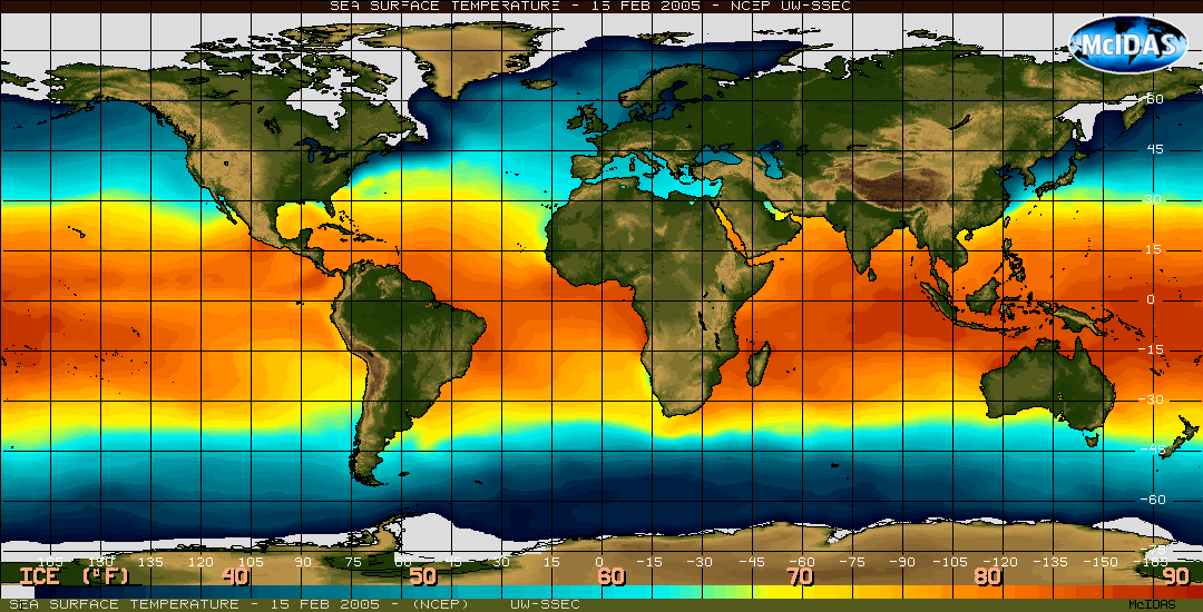
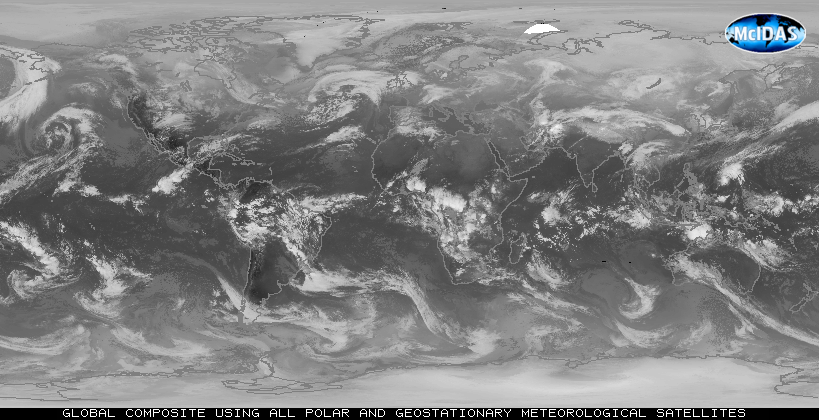
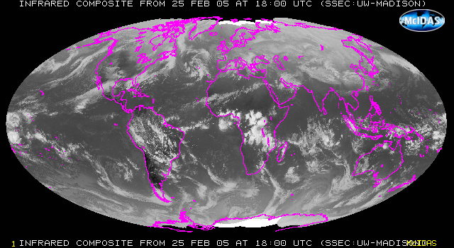
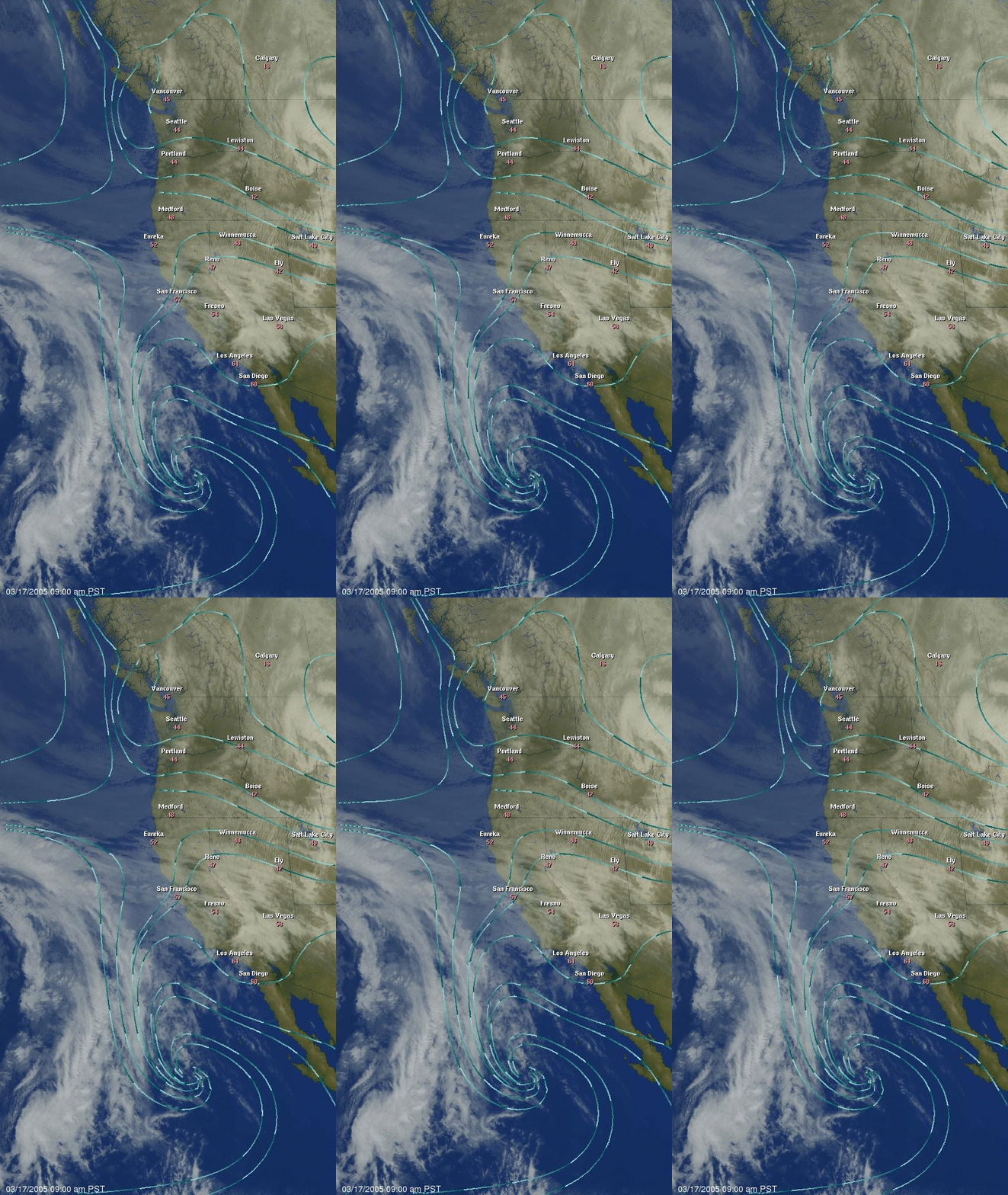
McIDAS-X provides a robust suite of application tools for managing, processing, comparing and fusing data. Users access and integrate various data types by displaying images and graphics separately or simultaneously. Current, past and forecast data displays can be animated to monitor changes.
See the sections below to view some of the sample capabilities of McIDAS-X. For more information on creating these types of displays, please see the McIDAS-X Documentation link above for tutorials and user’s guides.
[All examples on this page were created using McIDAS-X software. Some were created by members of McIDAS User Services and some were downloaded from sites listed on the SSEC Web page under “Research” or “Images and Data“]
Satellite Imagery
Model Data
Observation Data
GIS Applications
User Interfaces
- interactive command entry
[McIDAS text and command window] - Graphical User Interface (GUI) [McIDAS GUI]
- an intuitive, mouse-driven interface with drop down menus, dialog boxes, and on-line help for easy access to many McIDAS-X commands
- F Key menu system
- The F Key Menu system minimize keystrokes when a clearly defined set of commands is required.
- scheduled command entry (cron or McIDAS scheduler)
- batch processing and background processing
- Enter commands at the Unix prompt
- Use mcenv to run programs, scripts, or commands from the Unix prompt, shell scripts, and cron.
- McBASI language support
- McBASI is a BASIC language interpreter in the McIDAS environment
Display Control Utilities
- automated image and graphic updates in real time
- map extents and projections
- levels and surfaces: constant pressure, constant height, isentropic
- grid spacing and smoothing factors
- physical units in Metric and American:
- temperature in degrees Celsius, Fahrenheit or Kelvin
- linear measurements in degrees latitude, kilometers, meters, centimeters, millimeters, miles, nautical miles, yards, feet or inches
- pressure in millibars/hectopascals or inches of mercury
- wind speed in knots, meters per second, kilometers per hour, feet per second or miles per hour
- graphics color, line width and dashing
- interactive grayscale image enhancements
- weather symbols and character fonts
- interactive zooming of displayed images and graphics

