« Back to "Hurricane Storm Dorian Aug 28 - Sep 6 2019"
Category 5 Hurricane Dorian from morning of 1 Sept 2019
Posted: September 1, 2019
As of 1200UTC on 1 September, Hurricane Dorian became an extremely dangerous Category 5 storm with winds of 160 mph. This is an increase from the 0900UTC and 0600UTC advisories where Dorian was a strong Category 4 storm with winds of 150mph.
N20, GCOM-W1 and NOAA-20 all passed over Dorian in that order, all occurring after the 0600Z advisory, and again each observing unique features. This discussion will step through the VIIRS imagery first and then move on to the microwave instruments (ATMS and AMSR2).
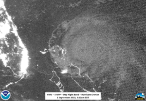
At ~0630UTC (2:30 am EDT), NOAA-20 flew over Dorian slightly off nadir. As with previous nights, IR imagery continued to show convective gravity waves and a well defined eye. However, unlike previous nights, the cirrus blowoff was not present.
Rather it was replaced by the classic “buzzsaw” type cloud commonly seen in very intense tropical storms. The zoomed out Day Night Band imagery continued to show the structure of Dorian quite well, even though there was no moonlight present (Waxing Crescent with 6% illumination), along with mesospheric gravity waves being flung far away from the storm as well as a lone lightning streak well on the southern part of the storm.
Like the night of 31 August, if you zoomed in to the eye itself, the NOAA-20 imagery continues to show what appear to be mesovorticies within the eye in the moonless DNB imagery. Mesovortices are are an indication of the intensity of the storm.
These vorticies are not normally seen unless under moonlight or during the day.
Roughly 50 minutes later at ~0720 UTC (3:20 am EDT), SNPP caught Dorian on the east side of the scan, meaning that the DNB imagery, while lit by airglow continued to not be able to pick out a lot of features due to the noise at the edge of scan. However, the well defined eye could still be picked out easily be seen, along with the different cloud bands.
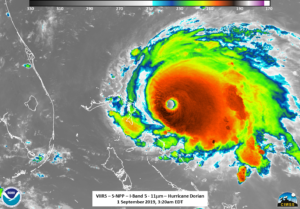
The IR imagery from S-NPP easily saw the eye along with tropospheric convective gravity waves flowing away from the intense storm.
In addition, the IR imagery from the successive passes showed the rotation of the storm at high resolution.
The 88.2 GHz BT on the ATMS instrument on NOAA-20 and MiRS rainrate product derived from ATMS continued to show the circulation, though did not show the eye itself.
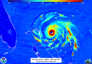
Fortunately, about 30 minutes after NOAA-20 at ~0704UTC passed over Dorian, the AMSR2 instrument on GCOM-W1 caught the storm closer to nadir than last night and easily saw the well defined eye.
It is interesting to note that the AMSR2 imagery showed a more cylindrical storm than the IR imagery from NOAA-20 or S-NPP. Note how the convective bands are elongated to the east in the IR satellite imagery as compared to the mircowave imagery. An example of this is shown in the slider below
This would seem to indicate some stability, as mentioned in the 0300 UTC forecast discussion . It is also worth noting that, while not AMSR2 specifically, the 0300 specifically mentions the use of microwave imagery in seeing if there are any concentric eye walls, which there were none according to the NHC forecast discussion or observed in the AMSR2 imagery.
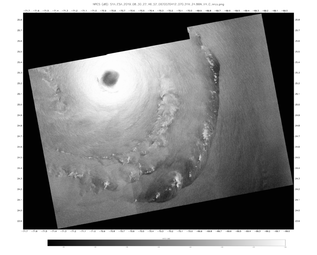
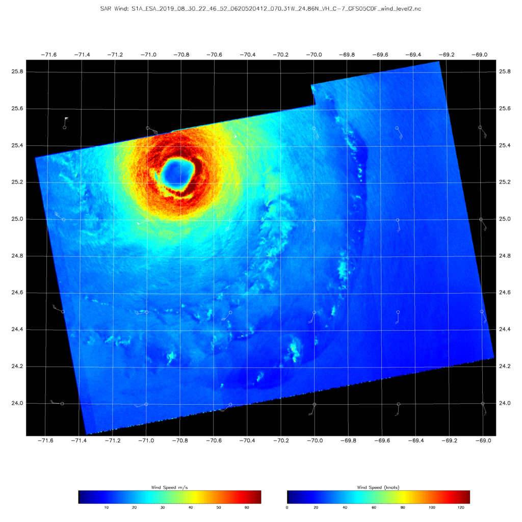
While these discussions have primarily focused on NOAA-20, S-NPP and GCOM-W1, it is important to note there are other satellites that have been observing Hurricane Dorian. One of these was the European Space Agency’s (ESA)/Copernicus Sentinel-1A/B satellite, which has synthetic-aperture radar (SAR). The first image is of the cross-polarization normalized radar cross section (NRCS) from Sentinel-1 taken from 30 August at ~2246UTC.
Sentinel-1A/B acquired by ESA/Copernicus, provided by Christopher Jackson, NOAA/STAR/SOCD
Contains modified Copernicus Sentinel data 2019
The NRCS can be used to derive winds, as seen in following image, and a discussion of the methodology is presented in . “On the use of Sentinel-1 cross-polarization imagery for wind speed retrieval.” (Monaldo, Jackson, and Li, 2017) and well as other publications.
Sentinel-1A/B acquired by ESA/Copernicus, provided by Christopher Jackson, NOAA/STAR/SOCD
Contains modified Copernicus Sentinel data 2019
While limited in nature, such winds could open up further possibilities for improved high resolution wind mapping over tropical systems and other locations.
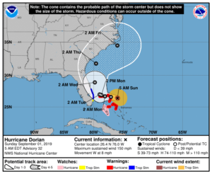
As of the 1200Z public advisory , Dorian is expected to remain a powerful hurricane during the next few days, slowing down before being followed by a gradual turn toward the northwest. Because of the slow down, Dorian is expected to have major impacts to the Bahamas before impacting the United States.

