« Back to "Tropical Storm Barry 11-15 July 2019"
Tropical Storm Barry – 12 July 2019
Posted: July 12, 2019
At 7am CDT (12UTC) NHC public advisory, Tropical Storm Barry had maximum sustained winds of 50 mph and a central pressure of 998 mbar (). This was very similar to Barry at the 9UTC and 6UTC NHC public advisories, though the pressure dropped 3mbar since 6Z.
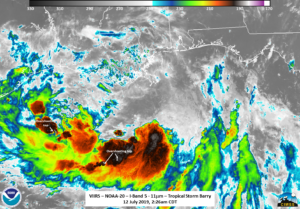
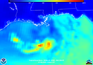
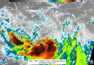
At approximately 2:26am CDT (0726Z), NOAA-20 flew over Tropical Storm Barry. The IR picture showed a cloud pattern consisting of a curved convective band on a southern semicircle that had several overshooting tops, an indication of intense convection. However, both in the IR from VIIRS (I05, 11μm) and ATMS imagery don’t appear to show any convection on where the center is notionally located from the NHC guidance
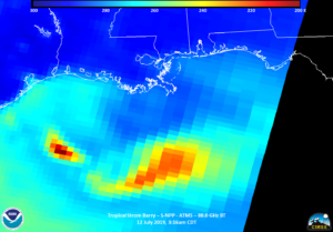
In addition, the AMSR2 imagery taken at 3:12am CDT along with the ATMS and 11μm VIIRS imagery from S-NPP also show a lack of any convection near the center of circulation.

This is consistent with the 9Z (4am CDT) forecast discussion from the NHC ()

Screenshot from 9Z NHC Forecast Discussion taken from NHC Graphics page for Tropical Storm Barry on 12 July 2019 a
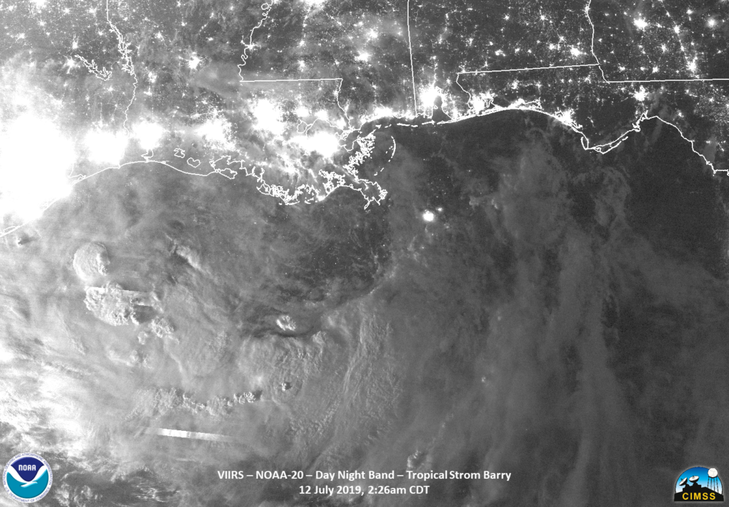
It isn’t until you look at the Day Night Band imagery from NOAA-20 and (to some extent) S-NPP that you see a hint of the center of circulation off the tip of Louisiana. The circulation is most obvious in the NOAA-20 imagery, which was illuminated by the waxing gibbous moon (81% illumination), though it can also hinted at in the S-NPP imagery, where Barry was illuminated only by airglow due to the lunar geometry.
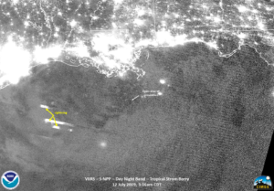
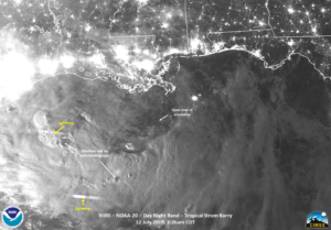
So in addition to geostationary imagery, the DNB could be useful in finding where the circulation of this storm was located at night.
The 12Z Public advisory mentions that some strengthening could occur, possibly making it a hurricane as it makes its way near the Louisiana coast.

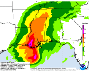
Warning cone and QPE rainfall forecast taken from NHC Graphics page for Tropical Storm Barry on 12 July 2019 at 8am CDT
It is likely that Barry will make landfall early tomorrow. The main impacts still appear to be the large amount of rain from this system, straining the already near-flood stage Mississippi River.


