« Back to "2019 California Wildfiles"
Kincade Fire on 31 October 2019
Posted: October 31, 2019
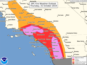
Over the last 5 days, the dangerous Kincade fire, which is near Geyserville in Sonoma County, has burned over a significant region, expanding due to dry conditions and strong winds. This combination of high winds and dry weather is a reason the National Weather Services’ Storm Prediction Center to issue an “extremely critical” fire weather outlook for Southern California until the afternoon of 31 October. However, the winds in Northern California will subside with temperatures forecast to reach to below freezing overnight.
Image from NWS Storm Prediction Center Facebook page on 28 October 2019 at ~3:47pm PDT
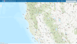
As seen by the National Weather Service’s Weather & Hazards Data Viewer website, at the ~3:00am on 31 October 2019, winds were much weaker as compared to previous days. This means there is much less chance for fire growth
Screenshots from National Weather Service’s Weather & Hazards Data Viewer website on 31 October 2019 at ~3:00am PDT
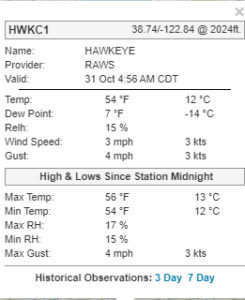
The Hawkeye RAWS station near the Kincade fire showed stronger winds than roughly 24 hours prior, with gusts close to 30mph
Screenshot from National Weather Service’s Weather & Hazards Data Viewer website on 31 October 2019 at ~2:56am PDT (4:56am CDT)
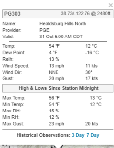
Further down the ridge at the Healdsburg Hills North RAWS
Screenshot from National Weather Service’s Weather & Hazards Data Viewer website on 31 October 2019 at ~3:05am PDT
As of the 8:42 AM PDT on 31 October, CalFire reported that the fire had more than doubled in size, and was approximately 76,825 in size and was now 60% contained. At least 206 structures destroyed with 4 injuries confirmed. The lack of is likely due to the weaker winds and the ability for firefighters to make significant headway in controlling the fire. 5,245
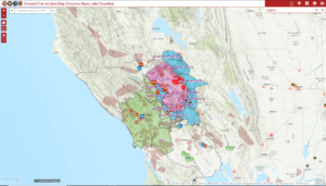
There are still large portions that are under a mandatory evacuation notice. However, most of Sonoma County all the way to the Pacific Ocean and into Napa Valley are either in a mandatory evacuation or an evacuation warning. This can be seen in the screenshot below from the Sonoma County Incident Map from 31 October 2019 at ~3:10am PDT showing the evacuation areas around the Kincade fire
Screenshot from the Sonoma County Incident Map website on 31 October 2019 at ~3:10am PDT
This shows that there are mandatory evacuations into the town of Healdsburg and encroaching on Santa Rosa, CA. However, note that in several areas, the mandatory evacuations and evacuation warnings have been lifted. This is due to the fact that the firefighters have been able to contain the fire as well as the lack of strong winds.
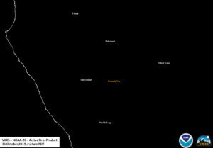
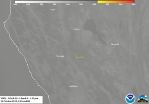
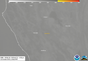
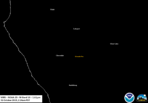
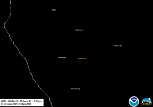
The Kincade Fire was first observed by NOAA-20 observed the Kincade fire at ~2:24am PDT (0924UTC) on 31 October, on the western side of the scan, meaning that features could be obscured by the terrain as well as there being some parallax effects due to it being on the edge of the scan, despite the terrain correction applied to the geolocation data. If one looked at the VIIRS Active Fire product as processed by CSPP, one would see no hotspots.
This observation is confirmed by looking at the I04 (3.75μm), M13 (4.05μm), M10 (1.61μm), and M11 (2.25μm) imagery
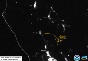
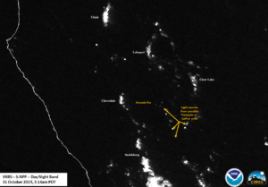
However, if you look at the Day Night Band imagery, you see a bunch of light sources in this region that don’t appear to have any large thermal signature
These lights are either from the firefighting units and/or very faint hotspots that continue to emit thermal and visible light.
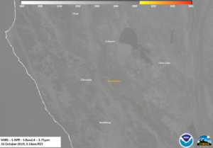
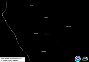
This is supported by looking at the S-NPP pass over the Kincade fire at ~3:14am PDT (1014UTC) on 31 October, which was close to nadir, one does see a hot spot in the I04 (3.75μm) channel and also observed in the VIIRS Active Fire product
If you compare to Day Night Band imagery, you can see that this hot spot does correspond to one of the light sources.
This gives some confidence that at least some of those sources are emitted light from some of the smoldering fires in the area of the fires that may not be visible in the imagery or the Active Fire product.
There was a second observation by NOAA-20 at ~4:04am PDT (1104 UTC). However, this was within the extended granule region of the Day Night Band. This means that there was no I-Band or M-Band data or VIIRS Active Fire product. However, one could still see the emitted lights in the active firefighting region.
As of the fire incident update at 7am PDT, CalFire noted that Fire personnel made good progress in their fire fighting efforts overnight due to favorable weather conditions., but access to the northern part of the fire continues remains challenging because of steep terrain and narrow roads. Approximately 5,245 personnel are assigned with 27 helicopters working fire suppression.
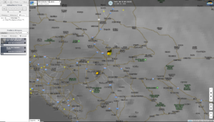
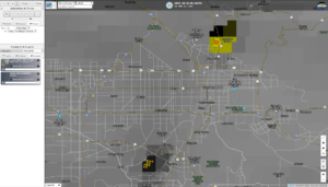
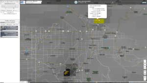
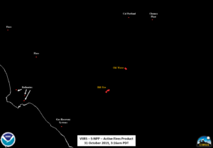
In addition to the fires in northern California, there were several active fires in southern California that were caught by the S-NPP pass at ~2:17am PDT (0917UTC) on 31 October 2019. The two largest were in the area of Riverside (Hill Fire) and Arrowhead Springs near Cal State University in San Bernardino (Old Water Fire). As mentioned in the 30 October 2019 post on the Kincade fire, another way to visualize the VIIRS Active Fire product as processed by CSPP is via the RealEarth viewer. As can be seen below, the VAF Product easily picked out the Hill and Old Water fires.
Screenshots from RealEarth
A bit of investigation utilizing the I04 (3.75μm), M13 (4.05μm), M11 (2.25μm), Day Night Band and VIIRS Active Fire Product from the same S-NPP pass showed that one could see heat sources from refineries and chemical plants as well in the VAF product.
This is not unexpected, given that the VIIRS Active Fire Product detects all heat sources. However, the most intense heat sources corresponded to the two active fires.
The wind has begun to subside in southern California allowing for firefighters to continue to make progress in containing the current active fires.

