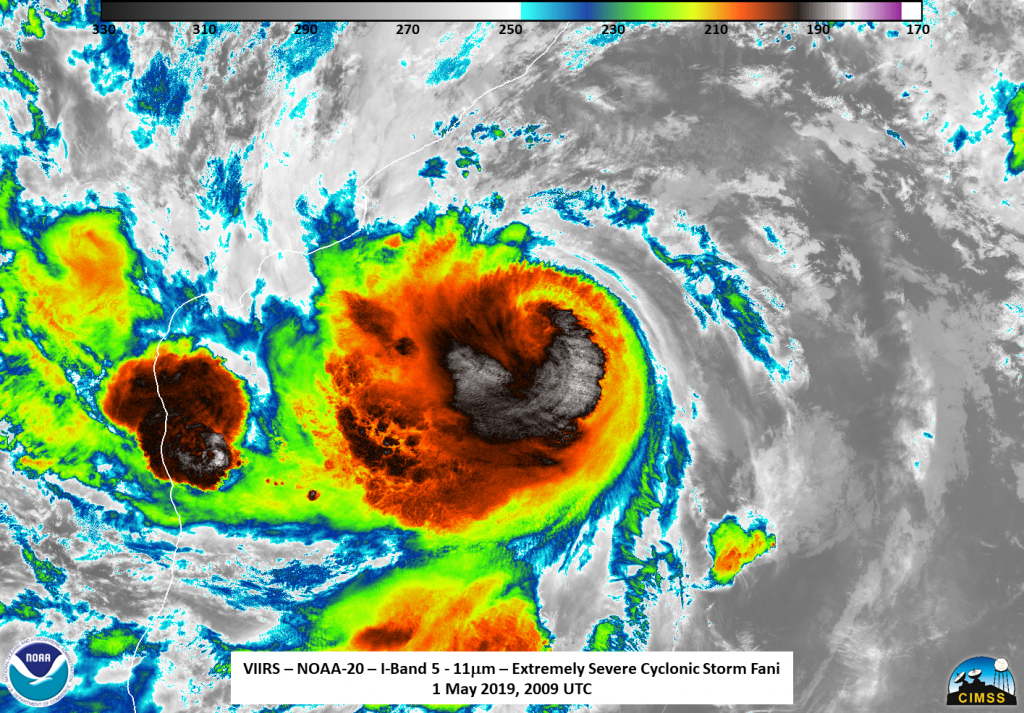
Extremely Severe Cyclonic Storm Fani - April/May 2019

Fani (pronounced as ‘Foni’) initially developed off the west of Sumatra on 26 April. By 27 April the India Meteorological Department (IMD) upgraded the system to a cyclonic storm with the name Fani. Development continued over the next couple of days when it rapidly intensified as it went over a area of warm sea surface temperatures. By 30 April Fani was upgraded to a very severe cyclonic storm by the IMD and continued to organize and intensify and was upgraded to an extremely severe cyclonic storm later that day by the IMD. The JTWC also upgraded the storm to Category 3-equivalent system. Over the next two days, development continued at a slow pace, with central dense overcast becoming more symmetrical and the eye more distinct early on 2 May, making it a Category 4-equivalent cyclone according to the JTWC. There was a short period of rapid intensification where Fani, according to the JTWC, attained 1-minute sustained winds of 250 km/h (155 mph), which is just below a Category 5 tropical cyclone on the Saffir-Simpson Scale. according to the JTWC. According to the IMD, At 9:30 a.m. IST (04:00 UTC) 3 May, Fani made landfall near Puri with winds of 185 km/h (115 mph), which made it a strong Category 3, weak Category 4, storm.
-
Flooding after Fani - 4 May 2019
The skies over Puri were clear on 4 May as the remnants of Fani (pronounced as ‘Foni’) transitioned over the… -
Extremely Severe Cyclonic Storm Fani – 3 May 2019
Extremely Severe Cyclonic Storm Fani made landfall this morning between 0230 TO 0430 UTC on 3 May with winds of…


