« Back to "Tropical Storm Barry 11-15 July 2019"
Tropical Storm Barry – 11 July 2019
Posted: July 11, 2019
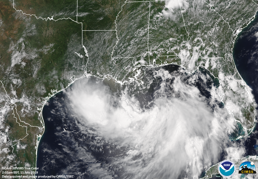
At approximately 10am CDT on 11 July 2019, Tropical Storm Barry formed off the coast of Louisiana according to the National Hurricane Center’s public advisory. The 1pm CDT Public Advisory from the National Hurricane Center stated that Tropical Storm Barry had maximum sustained winds if 40 mph, a minimum central pressure of 1006mb and was moving west at ~5mph.
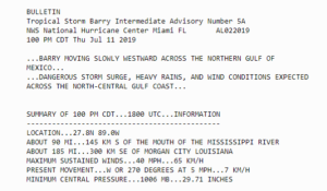
Screenshot from the NHC Forecast discussion at 1pm CDT on 11 July 2019
Roughly 1 hour after the 1pm advisory, the NOAA-20 satellite instrument passed over Barry with a near nadir overpass allowing for a true color image, which can be seen below and was produced using the Community Satellite Processing Package (CSPP) utilizing the direct broadcast antenna at CIMSS

True Color image from NOAA-20, produced by CSPP at UW Madison
The high resolution visible channel (I01, 0.64μm) and infrared (I05, 11μm) showed the broad area of low pressure that makes up Tropical Storm Barry over the northern Gulf of Mexico with a large convective band in the southern semicircle.
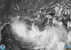
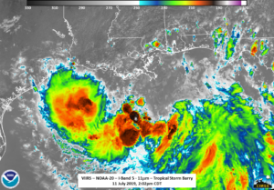
One can also see elongated and multiple cloud swirls are seen rotating around the mean center. This is consistent with the 10am CDT forecast discussion from the NHC. In addition, several overshooting tops in the storm, which are an indication of intense convection, can also be seen.
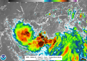
The ATMS instrument, which provides a look into the depths of the storm also showed the large convective band in the southern semicircle.
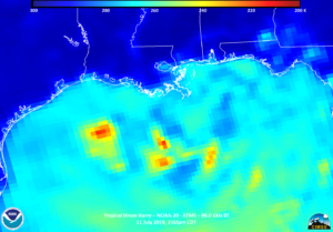
Barry is forecast to turn toward the west-northwest is expected tonight (11 July), followed by a turn toward the northwest on 12 July. The current forecast track the center of Barry appears to be near the central or southeastern coast of Louisiana Friday night or Saturday.

It is expected that Barry will dump to over a foot of rain in the Louisiana region, causing flooding in the low lying areas. The JPSS/ABI Flood product will monitor the situation as it unfolds.


