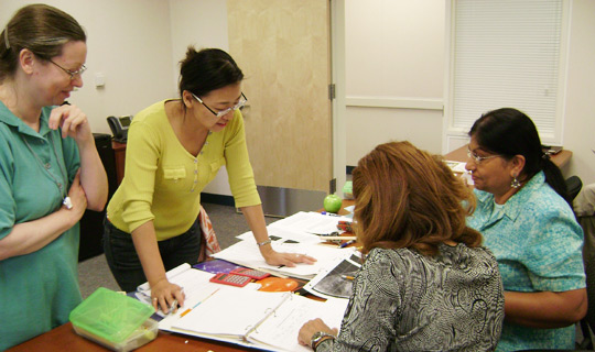
Education and Public Outreach
Sharing our research and knowledge is a key element of SSEC’s mission. Our scientists and outreach specialists develop online content and resources, as well as organize and conduct training and workshops, for groups ranging from high school students and teachers to other researchers and weather forecasters. Leading and supporting our education and outreach efforts is the Office of Education and Public Outreach within SSEC’s Cooperative Institute for Meteorological Satellite Studies.
Workshops and Learning Communities
-
Teacher Workshops and Educator Opportunities
CIMSS organizes workshops and online courses for middle and high school teachers to learn more about satellite meteorology and to bring this content back into their classrooms to engage their students.
-
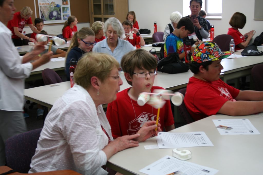
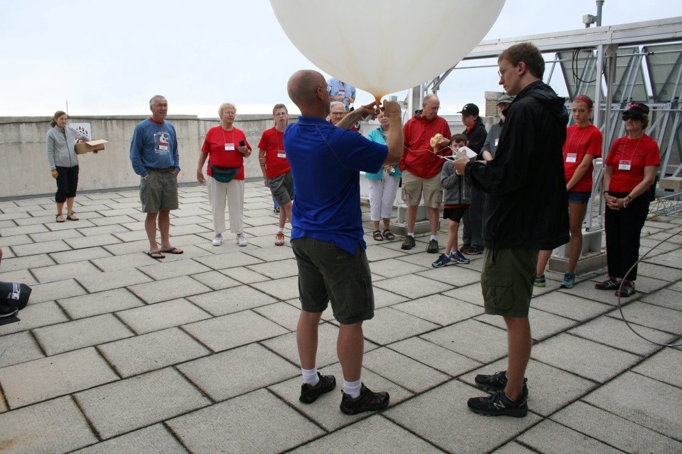
Atmospheric and Earth Science Workshop for High School Students
This workshop focuses on meteorology, astronomy, remote sensing and geology. Participating students stay on campus in lakeside dorms and experience science education, research and technology through hands-on activities --working directly with scientists, graduate students and professors.
-
Badger Summer Scholars: Satellite Science and Programming for Meteorology
University of Wisconsin–Madison Space Science and Engineering Center has partnered with the University's Precollege Programs to bring you Badger Summer Scholars: a summer STEM camp hosted at SSEC.
-
CIMSS Weather Camp
An on-line Weather Camp for High School Students.
Scholarship Opportunities
-
Verner E. Suomi Scholarship Award
This $1000 scholarship opportunity is for high school seniors who plan to attend a University of Wisconsin System undergraduate program in atmospheric science, meteorology, remote sensing, environmental science, applied physics, data science, or a related field.
-
William L. Smith Sr. Graduate Scholarship
For PhD students
Web based Educational Resources
-
Satellite Applications in Geoscience Education
SAGE is a distance-learning course for G6-12 educators that uses satellite observations to improve understanding of Earth's dynamic air and water systems, with units covering: Remote Sensing, Geology, Oceanography, Meteorology, and Earth as a System.
-
Satellite Meteorology for Grades 7-12
This web-based course introduces and tests students on concepts in satellite meteorology.
-
Wisconsin Weather Stories
This web-based curriculum explores the science behind the stories and sayings about Wisconsin weather.
-
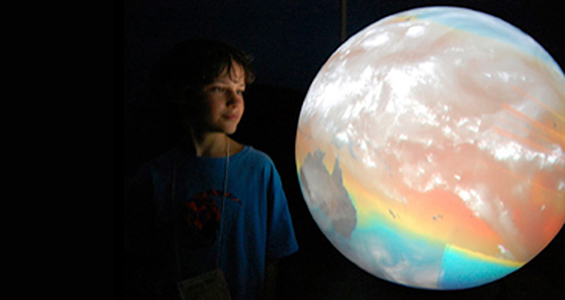
EarthNow Blog
Educational materials for institutions participating in NOAA's Science on a Sphere (SOS) program.
-
Educational Applets
Interactive, web-based, HTML5 apps for learning about weather and the atmosphere.
-
The Weather Guys
Timely weather stories told by UW meteorologists Steve Ackerman and Jon Martin.
-
Suomi Virtual Museum
An early exploration of research areas pursued by Professor Suomi during his career.
Training/Professional Development
-
VISIT and VISITview
SSEC and CIMSS researchers contribute and conduct online courses to help train NWS forecasters in how to understand and use satellite imagery for forecasting.
-
Remote Sensing Seminars
CIMSS researchers developed these seminars to teach the basics of remote sensing to scientists around the globe.
-
ITWG
Dedicated to sharing information and data from NOAA polar orbiting satellites, the International TOVS Working Group (ITWG) recommends directions of future research and seeks to influence relevant programs of the WMO and other agencies (NASA, NESDIS, EUMETSAT).
-
Satellite Information Familiarization Tool (SIFT)
SIFT is a user-friendly visualization system developed to train meteorologists to use satellite imagery.
-
Satellite Hydrology and Meteorology (SHyMet)
Researchers develop online courses for NWS forecasters to learn more about polar orbiting and geostationary satellite data and products.
Other EPO and Learning Resources
-
The Cooperative Program for Operational Meteorology, Education and Training (COMET)
SSEC and CIMSS researchers participate in COMET, a collaboration begun by UCAR and the NWS to promote a better understanding of mesoscale meteorology among weather forecasters and to maximize the benefits of new weather technologies.
-
Wisconsin View - Education Resourses
Dedicated to remote sensing imagery access and use in Wisconsin, WisconsinView provides resources for educators to explore satellite imagery, aerial photography, and related technologies.
-
Wisconsin Space Grant Consortium (WSGC)
SSEC is an affiliate member of the WSGC, which aims to engage Wisconsin citizens in space and aerospace science and to provide them with the math, science and technology tools they need to thrive in the 21st century.