SSEC Mobile Apps
iOS / Android Apps | Web Apps |
iOS / Android Apps
RealEarth™
Provides access to real-time imagery and data products, including global and regional remotely sensed atmospheric, terrestrial, and oceanographic imagery, observations of local meteorological parameters and short-range predictions of future conditions.
The RealEarth App is a good choice if you want to:
- Access all of the content produced by the RealEarth servers (over 600 products)
- View the imagery listed here: https://realearth.ssec.wisc.edu/products
- Save and share views
- Query data values from certain layers with the “data probe”
Note: not all advanced features are available in the Android version of the App at this time.


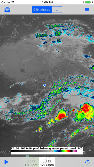
GOES
An application for viewing near real-time GOES (Geostationary Operational Environmental Satellite) imagery including GOES-16.
The GOES App is a good choice if you want to:
- Access only the imagery and data from the GOES series satellites (about 130 products)
- View the imagery listed here: https://goes.ssec.wisc.edu/products
- Save and share views
Note: not all advanced features are available in the Android version of the App at this time.
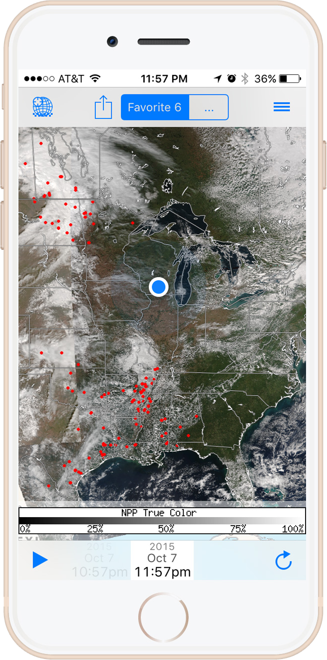
ISEE/JPSS
A mobile app for viewing imagery and products from JPSS (Joint Polar Satellite System) satellites developed under the ISEE (Innovative Satellite Enhancement Exploration) project and designed to bring attention to satellite-observed events with notifications and social media sharing.
The ISEE/JPSS App is a good choice if you want to:
- Access only the imagery and data from the JPSS series satellites (about 60 products)
- View the imagery listed here: https://isee.ssec.wisc.edu/products
- Receive place-specific notifications for user-defined events such as fires and floods
- Save views and use social media to share event notifications
Note: not all advanced features are available in the Android version of the App at this time.
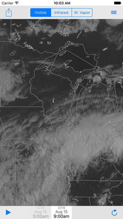
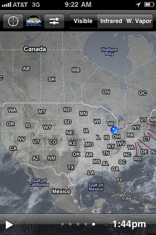
WxSat
Our simplest mobile app, optimized for global viewing of the three basic weather satellite (WxSat) channels.
The WxSat App is a good choice if you want to:
- Have a simplified interface with three products
- View global, near real-time visible, infrared, or water vapor imagery
- Pan, zoom, and animate
- See your location in the imagery
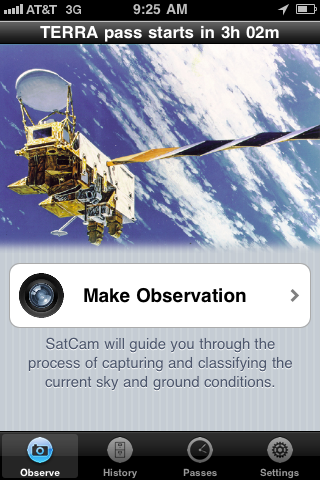
SatCam
An iPhone application for user-driven satellite cloud validation.
Web Apps
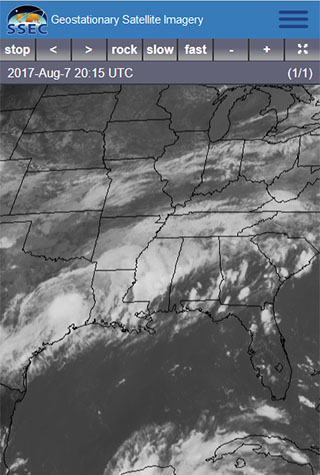
Geostationary Satellite Imagery
View real-time satellite animations, including GOES-16 on your mobile device, desktop computer, laptop…